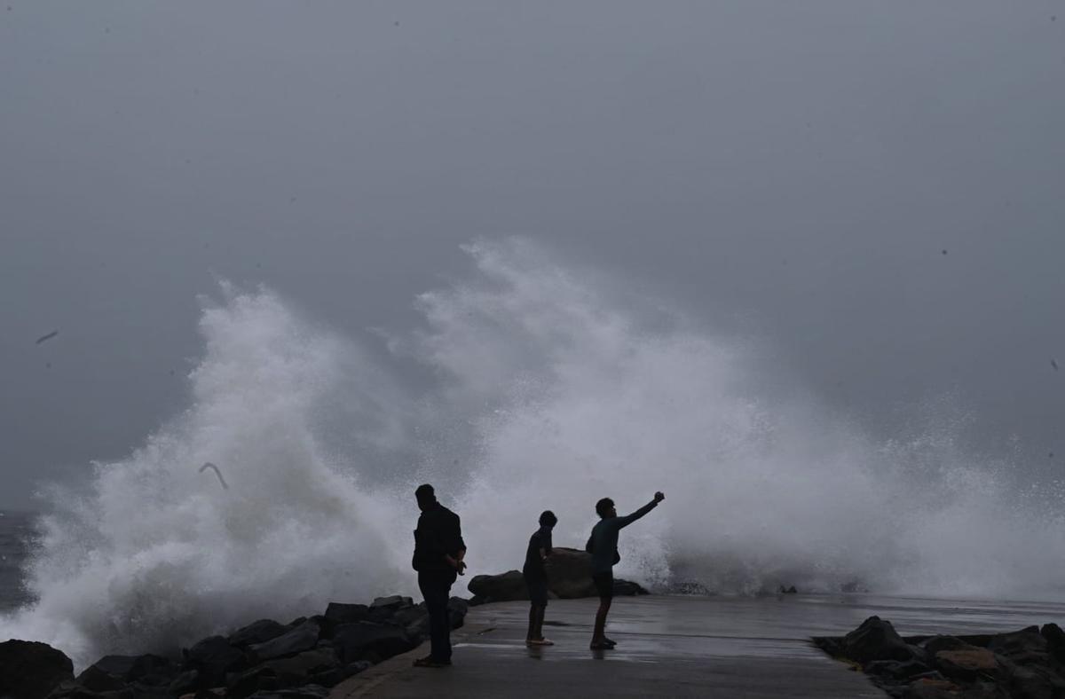
Puducherry: Puducherry District Collector A. Kulothungan stated that the district administration has implemented comprehensive measures to prepare for Cyclone Fengal.
"The landfall process is expected around 7 pm today. The district administration has made elaborate arrangements to address the impact of Cyclone Fengal," Kulothungan told ANI.
"The war room is operational, and relief centres have been established with all necessary arrangements in place. Warning messages have been disseminated, and approximately 4,000 government officials are on duty," he added.
Meanwhile, Visakhapatnam Cyclone Warning Centre MD K.V.S. Srinivas reported that the cyclone is currently situated 120 km northeast of Puducherry and 110 km southeast of Chennai.
"The cyclone is positioned 120 km northeast of Puducherry and 110 km southeast of Chennai. It is expected to move westward across the northern Tamil Nadu and Puducherry coast between Mahabalipuram and Karaikal this evening, with wind speeds reaching 70-80 kmph," Srinivas told ANI.
Heavy rainfall due to the cyclone has resulted in waterlogging in several parts of Chennai.
Chennai Metro Rail Limited (CMRL) has deployed teams across all Phase 2 project sites to monitor Cyclone Fengal and address related flooding issues.
"Heavy rains have caused waterlogging in Karapakkam. Our teams are on the ground, using high-powered 100 hp and 40 hp pumps to remove water. The situation is gradually coming under control. Officials and teams are stationed at all Phase 2 project sites to monitor and tackle flooding caused by Cyclone Fengal," CMRL stated on Twitter.
The India Meteorological Department (IMD) has forecast that Cyclonic Storm Fengal will cross the north Tamil Nadu-Puducherry coast between Karaikal and Mahabalipuram on Saturday evening, with wind speeds of 70-80 kmph, gusting to 90 kmph.
According to the IMD, the cyclone, located over the southwest Bay of Bengal, is moving west-northwestwards at 10 kmph. It is currently centred near latitude 12.3°N and longitude 80.7°E, approximately 100 km east-northeast of Puducherry and 100 km southeast of Chennai.
"It is likely to move westwards and make landfall between Karaikal and Mahabalipuram, near Puducherry, as a cyclonic storm with wind speeds of 70-80 kmph, gusting to 90 kmph, this evening. A possible slowdown in its movement may occur as it nears the coast. Continuous monitoring is underway," the IMD stated.
The IMD also warned of wind speeds ranging from 70-90 kmph during landfall in areas between Tiruvallur and Mayiladuthurai. Coastal districts from Tiruvallur to Nagapattinam are likely to experience wind speeds of 50-70 kmph on Sunday.
Meanwhile, heavy rainfall has affected several parts of Tamil Nadu as the cyclone approaches. In Chennai, waterlogged roads were seen in areas such as New Washermanpet, the Gemini Flyover, and Mount Road, leading to slow traffic and challenges for vehicles, including cars and two-wheelers. (ANI)

